GULF RECON
Panhandle - Regional Zone
Panhandle - Regional Zone
Couldn't load pickup availability
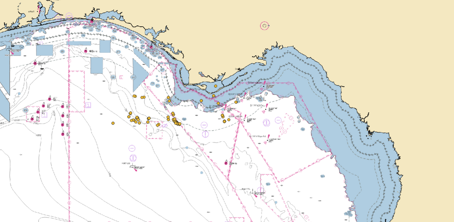
158 Curated Offshore Waypoints (0–60 Miles)
Panama City to Apalachicola
Powered by Gulf Recon Scoring Intelligence
The Panhandle Regional Zone delivers 158 professionally curated fishing waypoints covering waters from Panama City east to Apalachicola, extending from the coastline out to approximately 60 miles offshore.
This stretch of the Florida Panhandle is known for its strong artificial reef programs, scattered hard bottom, wreck structure, and productive offshore ledge systems. The fishery here can be structure-driven and highly seasonal — and this package is designed to help you focus on higher-probability bottom.
This is not a mass coordinate release. Every waypoint has been refined and ranked using the proprietary Gulf Recon Scoring System, built to evaluate structure quality, historical activity indicators, and uniqueness within surrounding bottom.
What’s Included
✔ 158 Professionally Scored Waypoints (0–60 miles offshore)
✔ .GPX and .USR Files – Compatible with Garmin, Simrad, Lowrance, Raymarine & most major chartplotters
✔ Download Instruction PDF – Clear step-by-step import guide
✔ Organized, ready-to-load file structure
Share